GIS & Spatial Operations
Operate connected infrastructure in geographic context.
Visualize assets, layers, groups, zones and field activity on interactive maps. Add spatial context to operational data and act with confidence.
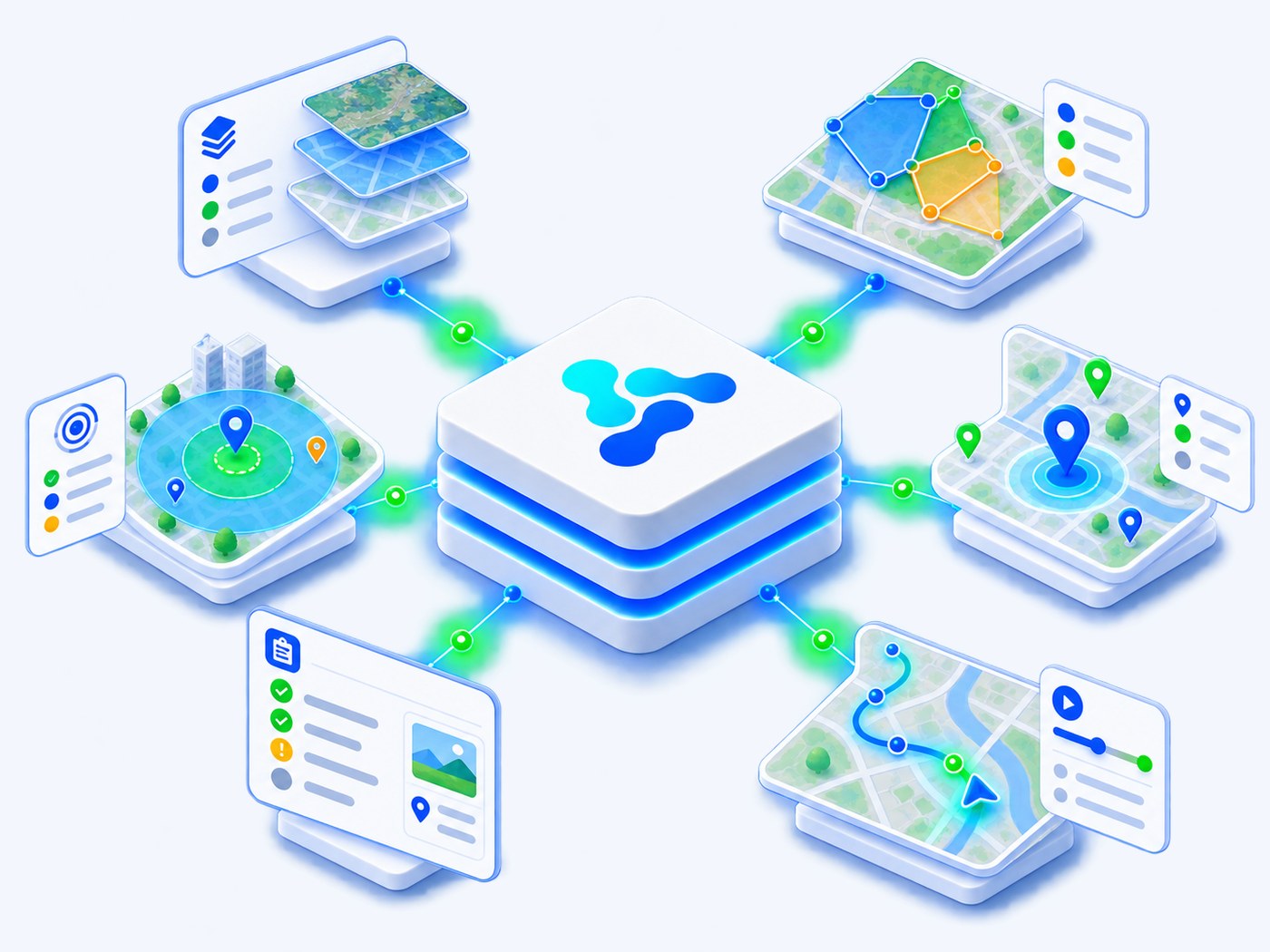
Live location
Track devices and assets
Layers & zones
Build spatial context
Field operations
Notes and drill-down
Historical context
Playback and review
Spatial capabilities
Everything needed to operate infrastructure in geographic context.
Map Layers
Combine devices, infrastructure and contextual layers.
Groups & Zones
Organize areas and device groups geographically.
Areas of Effect
Visualize spatial influence and operational reach.
Field Notes
Capture observations and field information on the map.
Map Profiles
Save reusable views for roles, teams and use cases.
Device Drill-down
Open asset details, metrics and history from map context.
How spatial operations work
From device location to operational action.
1
Locate
Position assets
2
Layer
Add context
3
Group
Organize zones
4
Analyze
Understand impact
5
Act
Respond in field
6
Review
Playback and optimize
The GIS operating model
Location data becomes operational context, and operational context becomes a view a team can act on.
Spatial data sources
Where location comes from
- Device coordinates
- Groups and zones
- Field notes
- External GIS layers
Vision spatial engine
What the platform computes
- Layer composition
- Area and zone logic
- Location filtering
- Profiles and context
Operational views
What teams work with
- Map monitoring
- Drill-down
- Alerts and events
- Playback and reporting
Product in action
A real map view from Vision Smart Platform: the IoT system panel, device list, groups, filters and drawn zones.
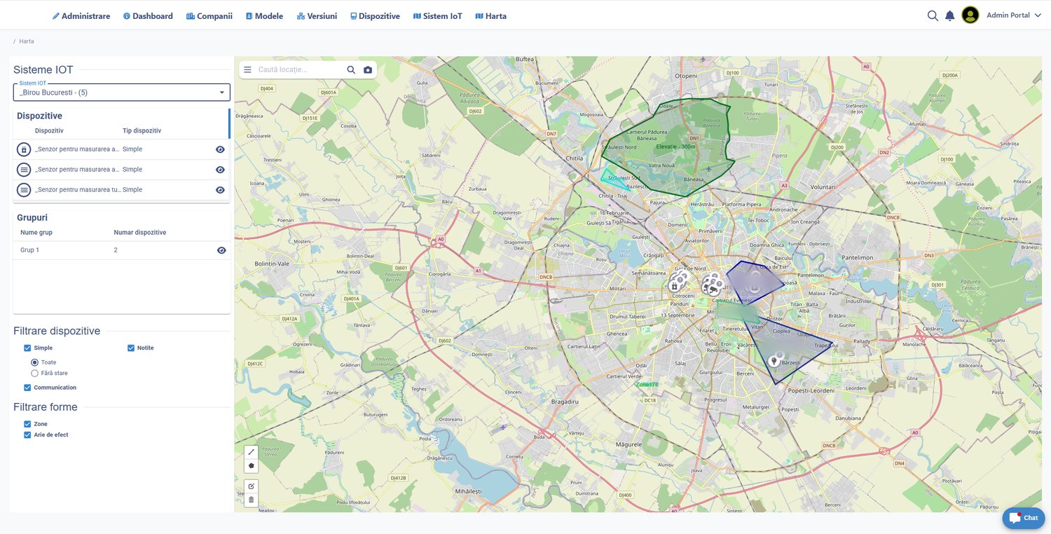
Interactive map navigation
Device and group filtering
Zones and areas of effect
Direct drill-down to assets
Field notes and contextual data
Built for real spatial operations
Asset visibility
Know where devices and infrastructure are.
Operational zones
Segment territory by role, area or service.
Effect analysis
Understand geographic influence and impact.
Incident response
Locate alerts and field issues quickly.
Field collaboration
Add notes and context directly on the map.
Historical review
Use timeline and playback to inspect changes.
Ready to operate in spatial context?
See assets, zones, field activity and operational impact in one map experience.